Mr. Lee and Coach Laps put the students memory and listening skills to the test. Both facilitators formulated questions based on historical information of the community of Laurelton, Rosedale and its surrounding neighborhoods.
The 6th, 7th and 8th grades were split into teams of 4-5. They were given the questions and allowed to answer. Teams were given a point for each correct response. Team Jaelle (6th grade) won the
competition answering the most questions correctly.
Lets test your skills and knowledge of the area:
Who were the first settlers in Southeast Queens?
(Dutch and English Farmers)
Why is the area called Springfield?
(Spring – Water from glaciers
Field – farmland)
What was the first main road in Laurelton? It was a small dirt
road and it connects to Jamaica?
(Merrick Blvd)
What jobs did the first settlers have?
(Blacksmith, farmer, mills, churches, cemetery)
What 3 parks in the area (Laurelton, Springfield, Rosedale, Jamaica) were former ponds? The source of water in the area.
(1. Springfield Park / Springfield Pond
2. Brookville Park / Conselyea Pond
3. Baisley Park / Baisley Pond
Why are the service roads of the Belt Parkway / Sunrise Hwy called The Conduit? (North and South Conduit have water running underneath from Long Island to Brooklyn. Old Brooklyn Waterworks supplied water to the City of Brooklyn.)
What are the Long Island Railroad stations that service Southeast Queens?
(Jamaica Station,Locust Manor, Springfield/Laurelton, Rosedale /
Foster’s Meadow Station)
What year was the city of New York Consolidated? (All five boroughs became one city in 1898)
What year did the Queensboro Bridge open? (1909)
What year did the LIRR tunnel to Manhattan open? (1910)
After which war did the construction of Springfield Gardens, Rosedale and Laurelton
accelerate? (WWI 1920 – 1930)
When did the Great Depression Happen and how did it affect the neighborhood?
(1929 :
The New Deal created jobs to help Americans. The WPA Works Progress Administration financed projects in Southeast Queens such as:
1. Draining Springfield Pond
2. Andrew Jackson HS was built
3. New Roads Belt Pkwy, Laurelton Pkwy, Cross Island Pkwy)
The construction of which airport began during WWII began in queens? What was this airports original name? (Construction of Idlewild airport now known as Kennedy airport began in 1942. It opened during 1948)
What highway was built in Southeast Queens after WWII? (1945 The Van Wyck Expressway)
What were the demographics of Laurelton’s population like in the 70’s? What are they like today?
What is the average property value of a house in Laurelton in the 1970’s? What is it today?
What was Linden SDA building in the 1970’s?
This word is used to describe a community that has a demographic population that reflects the population of the rest of the country?
Which ethnic minority group fought alongside Blacks/African-Americans in Laurelton in the 70’s to keep the town integrated?
Approximately how many square miles is Laurelton?
What is the name for the grassy street dividers that separate the sides of the roads?
Of the 76 street dividers (malls) in Laurelton, how many have volunteers maintaining them (i.e. planting, weeding, watering)
Name the towns that surround Laurelton.
True or False – A person charged with the largest financial fraud in U.S. history grew up in Laurelton
True or False – the average annual income of Laurelton residents is higher than the national average?
What is the average income of a Laurelton resident?
What decade had the worst crime in Laurelton?
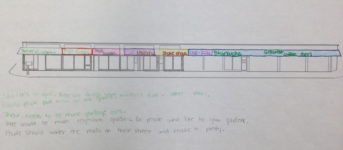
What businesses are most common on Merrick Blvd? Name four.
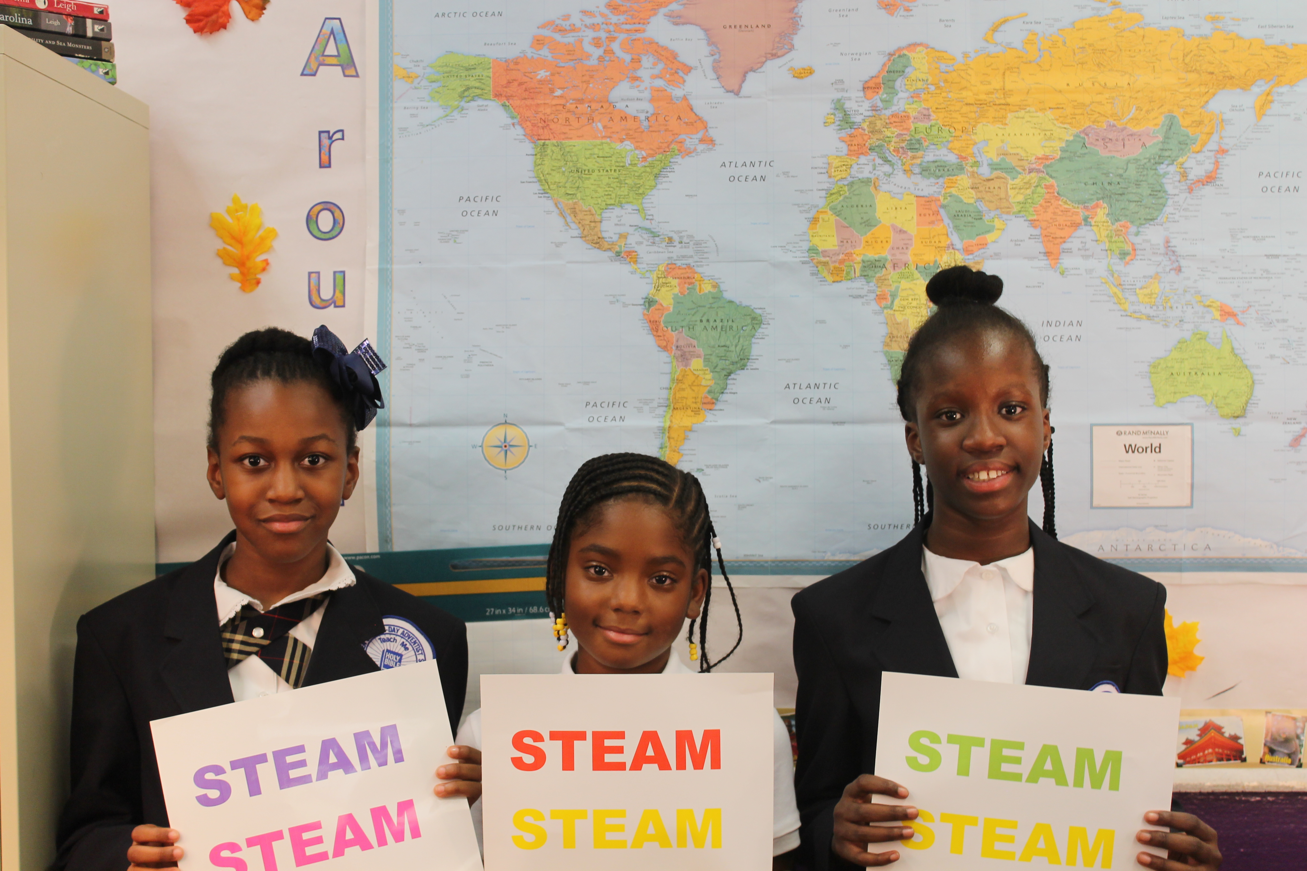
![]() DIVAS (Digital Interactive Visual Arts Sciences) for Social Justice aims to bridge the digital divide by combining media literacy and cultural awareness along with a vast understanding of technology to encourage young women in under served communities to pursue careers in computer science and new media.
DIVAS (Digital Interactive Visual Arts Sciences) for Social Justice aims to bridge the digital divide by combining media literacy and cultural awareness along with a vast understanding of technology to encourage young women in under served communities to pursue careers in computer science and new media.